
- Where
- Vigo, Galicia
- Directions
- Directions
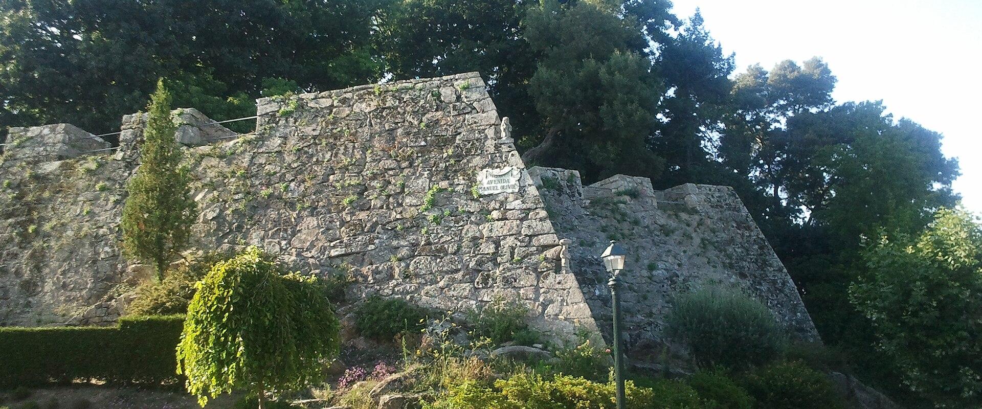
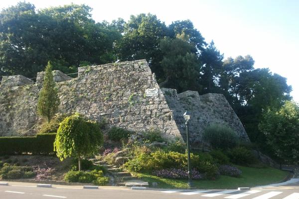
The Castro Fortress, the Castelo do Castro, crowns the Monte do Castro, the hill that rises behind the old town of Vigo, and it is the best place to understand the geography of the city. From the summit there is a broad view over the Ría de Vigo, a long, sheltered inlet of the Atlantic Ocean, with the port, the roofs of the city and the line of the Cíes Islands closing the horizon. The hill is about 150 metres high, and it was a natural site for a lookout and a defence long before the present fortress.
The hill has been occupied since the Iron Age. At the summit, archaeologists have found the remains of a castro, a fortified settlement of the Castro culture, the Celtic-speaking peoples of Galicia and northern Portugal who lived in hilltop villages from about the first millennium BC. The Gallaeci, as the Romans called them, built round houses of stone inside defensive walls, and part of the settlement has been reconstructed, with dwellings restored on the hilltop, so that visitors can get an idea of what it looked like. The name of the hill comes from this origin, since castro means a fortified hill settlement.
The fortress seen today dates mainly from the seventeenth century. In 1665, during the war of restoration against Portugal, Spain built a system of walls and bastions on the hill to protect Vigo, which was an important port, from attack by sea and land, and the work was extended later. Vigo was threatened by English and French fleets over the following centuries, and the fortress was a key defence. In 1809, during the Peninsular War, the local people, who had risen against the French garrison, besieged the French soldiers in the castle, and after a siege the French surrendered, an event that is remembered as the Reconquista of Vigo. Several old cannons still stand on the ramparts.
Today, the fortress is a public park, with lawns, flowerbeds, trees and paved paths, and it is a popular place for families, joggers and walkers. The stone walls and bastions provide shaded corners and viewpoints, and there are paths around the top. An audio guide, available through a dedicated app, gives information on the history and the sights. Entry is free, and the park is open during the day.
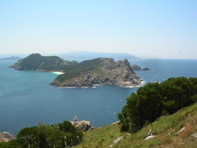
The climb from the old town is steep, and it takes about twenty to thirty minutes on foot, though buses and taxis also go up. The hill is close to the MARCO museum of contemporary art and the old quarter of Vigo, with its narrow streets and seafood restaurants, so it can be combined with a day in the city. The Cíes Islands, seen from the summit, are reached by ferry from the port. The best time for photographs is in the late afternoon, when the light on the ría is soft. Galicia’s weather is changeable, so bring a jacket.
Categories
More photos coming soon
Nearby Attractions
Other places to visit in Vigo
Questions people ask
Quick Facts
Best Time to Visit
June through September offers warm, dry weather ideal for exploring the city.