

Caldera de Taburiente National Park
UNESCO Biosphere Reserve with 8km wide crater
- Where
- La Palma, Canary Islands
- Directions
- Directions
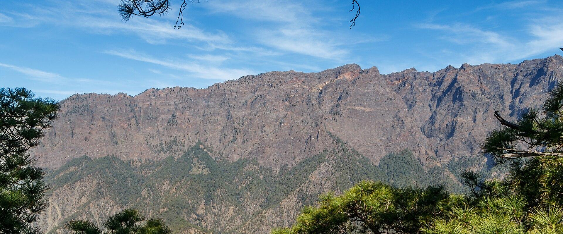
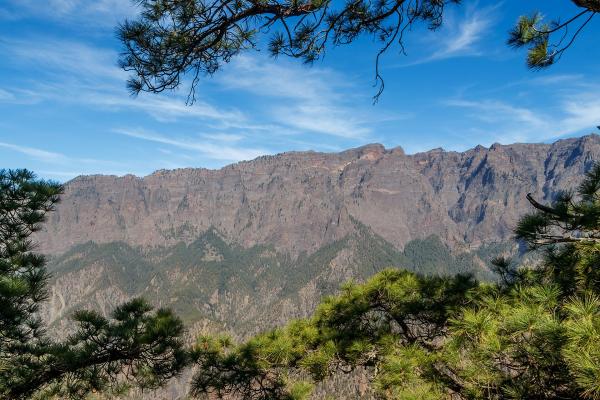
The Caldera de Taburiente is the great natural amphitheatre in the centre of La Palma, and the national park that protects it is the island's greatest landscape. The word caldera suggests a volcanic crater, but this one was shaped mostly by erosion: water and landslides over a very long time have carved a vast bowl about eight kilometres across, ringed by steep cliffs and ridges that rise to more than two thousand metres. Its floor lies far below the rim, in a tangle of ravines and forested slopes, and a single narrow gorge, the Barranco de las Angustias, drains it toward the sea on the western side. The national park was created in 1954 and La Palma as a whole is a UNESCO Biosphere Reserve.
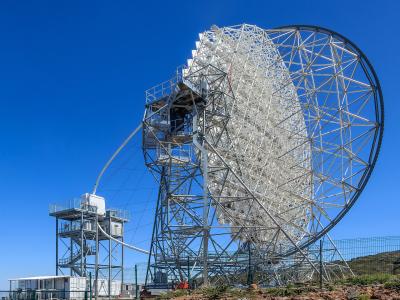
What strikes visitors is the contrast of rock and green. The rim is bare and dramatic, with columns and towers of dark stone, and the slopes below are covered with forests of Canary pine, a species that thrives on the island and lights up the landscape with fresh green in every season. Streams run down the ravines and join in the valley called Dos Aguas, the Two Waters, and the water, stained by iron-rich rocks, gives the Cascada de Colores, the Waterfall of Colours, its orange and red hues. The high rim also offers views over a sea of clouds on days when the trade winds bring them in, and above the clouds the sky is intensely clear. The Roque de los Muchachos, the island's highest point at about 2,400 metres, stands on the rim, with a group of astronomical observatories that benefit from the clear air.
The visitor centre in El Paso, on the west side, is the best place to start. It offers information on trails, weather and closures, exhibitions on geology, plants and animals, and videos, and rangers can advise on routes and permits. From here, a road climbs to the Mirador de La Cumbrecita, a viewpoint from which the caldera opens out, and it is the classic panoramic stop. Trails of different lengths lead into the crater from the Los Brecitos area and the Cumbrecita, but the walk to the valley floor is long and demanding and requires registration with the park authority, so it is wise to plan in advance. Other paths follow the rim and pass through pine woods.
The park is famous for the clarity of its night sky. La Palma was one of the first places to be certified for dark skies, and guided stargazing excursions are offered. Weather can change fast, and mist and rain are frequent on the rim, so wear layers and good boots, carry water and keep to marked paths. Please do not use flash photography in the exhibitions.
It suits walkers, nature lovers and photographers, and a visit takes from half a day to several days, depending on the trails chosen.
Categories
More photos coming soon
Nearby Attractions
Other places to visit in La Palma
Questions people ask
Quick Facts
Best Time to Visit
June through September offers warm, dry weather ideal for hiking and stargazing.